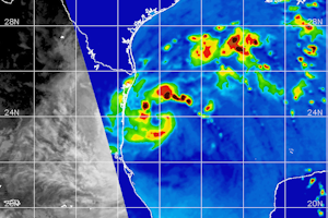
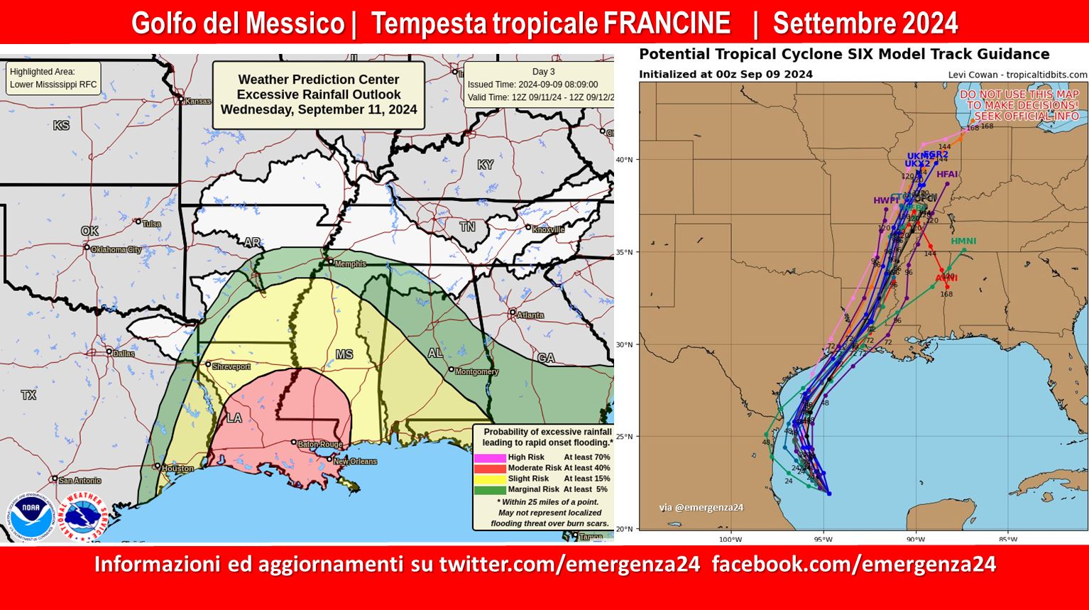
 Preoccupazione per la formazione di una tempesta tropicale denominata Francine nel Golfo del Messico che secondo alcune previsioni potrebbe interessare le coste nella seconda settimana di settembre 2024.
Questo post verrà aggiornato fino alla fine dell’evento.
CRONOLOGIA INVERSA
09.09.2024 – 23:00 – Informazioni e aggiornamenti
BREAKING: Latest NHC Advisory (4pm) has Francine coming in as a Category 2! No real change in track but they have advanced the time-line window to landfall for Wednesday afternoon. #lawx #Francine pic.twitter.com/4EuSuGAQdl
— Rob Perillo (@robperillo) September 9, 2024
Here's my latest time-line for conditions expected across portions of Acadiana…it won't be all of Acadiana, as we still don't have confidence exactly where Francine will make landfall…
Do not pay attention to the GRAF Model timing (as it's looking too fast/soon) but I would… pic.twitter.com/SEnGM04e2O
— Rob Perillo (@robperillo) September 9, 2024
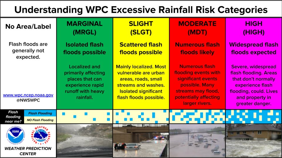
Recently named Tropical Storm #Francine is forecast to strengthen into a hurricane when it reaches the northwestern Gulf coast on Wednesday. As it does, heavy rainfall will lead to numerous instances of flash flooding across the MS Delta, some of which could be significant. pic.twitter.com/X1D9yatFtd
— NWS Weather Prediction Center (@NWSWPC) September 9, 2024
Sept 9 – @NOAA Gulfstream IV-SP #NOAA49 “Gonzo” is on its first flight to Tropical Storm #Francine, gathering high-altitude data to refine track forecasts and support hurricane research. Watch the video for a mission brief from our flight director!
Visit https://t.co/3phpgKNx0q… pic.twitter.com/NthrFpxpwd— NOAA Aircraft Operations Center (@NOAA_HurrHunter) September 9, 2024
09.09.2024 – 22:00 – Informazioni e aggiornamenti
#Francine’s circulation continues to come together. An eye can now be seen on radar 👀 pic.twitter.com/Qene5muUYH
— Zoom Earth (@zoom_earth) September 9, 2024
#Francine will likely have a small core, and near record Gulf temps, ideal for rapid intensification. It will likely get quite intense.
Luckily there’s strong shear near landfall. So hopefully it will be weakening as it heads in. Still our in house model has gusts ~130mph 1/ pic.twitter.com/CNrZ39Zd2j— Jeff Berardelli (@WeatherProf) September 9, 2024
09.09.2024 – 05:00 – Informazioni e aggiornamenti
00z spaghetti models continue to show a northeasterly track on a strengthening hurricane in approach to southwestern Louisiana on Wednesday. Meanwhile, the intensity forecasts have trended up dramatically! pic.twitter.com/wd4IvNiMzc
— Reed Timmer, PhD (@ReedTimmerUSA) September 9, 2024


 Leggi i